2010 : The former A350 at Fox Holes
Introduction
The photograph on this page of 2010 : The former A350 at Fox Holes by Maurice Pullin as part of the Geograph project.
The Geograph project started in 2005 with the aim of publishing, organising and preserving representative images for every square kilometre of Great Britain, Ireland and the Isle of Man.

There are currently over 7.5m images from over 14,400 individuals and you can help contribute to the project by visiting https://www.geograph.org.uk
2010 : The former A350 at Fox Holes
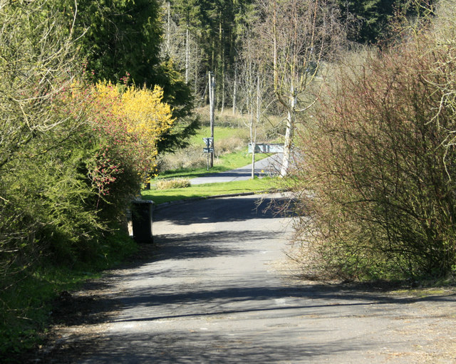
Image: © Maurice Pullin Taken: 17 Apr 2010
North of Longbridge Deverill. Now bypassed this was once part of a major north/south route through Wiltshire.
Images are licensed for reuse under creativecommons.org/licenses/by-sa/2.0
Image Location
Latitude
51.175633
Longitude
-2.195211