Disused quarry at Cross, Somerset
Introduction
The photograph on this page of Disused quarry at Cross, Somerset by Anthony O'Neil as part of the Geograph project.
The Geograph project started in 2005 with the aim of publishing, organising and preserving representative images for every square kilometre of Great Britain, Ireland and the Isle of Man.

There are currently over 7.5m images from over 14,400 individuals and you can help contribute to the project by visiting https://www.geograph.org.uk
Disused quarry at Cross, Somerset
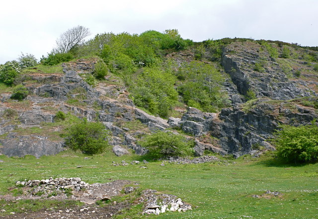
Image: © Anthony O'Neil Taken: 12 May 2010
A public footpath starts from the village near here and continues via Bourton Farm to ascend Watering Down and Cross Plain, there joining the West Mendip Way.
Images are licensed for reuse under creativecommons.org/licenses/by-sa/2.0
Image Location
Latitude
51.290561
Longitude
-2.842032