2010 : The former A350 at Crockerton
Introduction
The photograph on this page of 2010 : The former A350 at Crockerton by Maurice Pullin as part of the Geograph project.
The Geograph project started in 2005 with the aim of publishing, organising and preserving representative images for every square kilometre of Great Britain, Ireland and the Isle of Man.

There are currently over 7.5m images from over 14,400 individuals and you can help contribute to the project by visiting https://www.geograph.org.uk
2010 : The former A350 at Crockerton
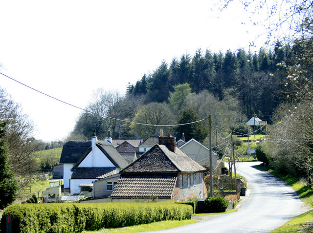
Image: © Maurice Pullin Taken: 17 Apr 2010
The main road between Warminster and Shaftesbury has been subject to straightening and improvement.
Images are licensed for reuse under creativecommons.org/licenses/by-sa/2.0
Image Location
Latitude
51.180128
Longitude
-2.195802