Gartcosh meadow
Introduction
The photograph on this page of Gartcosh meadow by Robert Murray as part of the Geograph project.
The Geograph project started in 2005 with the aim of publishing, organising and preserving representative images for every square kilometre of Great Britain, Ireland and the Isle of Man.

There are currently over 7.5m images from over 14,400 individuals and you can help contribute to the project by visiting https://www.geograph.org.uk
Gartcosh meadow
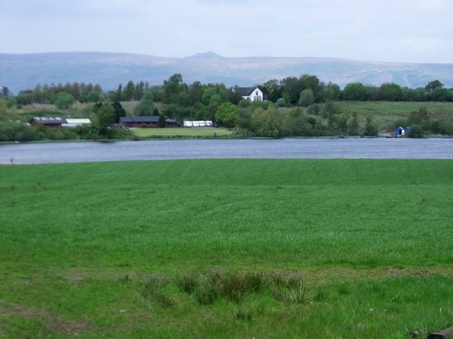
Image: © Robert Murray Taken: 13 May 2010
The water is the Johnston Loch. not really a loch as such but a Kettle pond. The ridge line is the Campsies and the peak is Meikle Binn.
Images are licensed for reuse under creativecommons.org/licenses/by-sa/2.0
Image Location
Latitude
55.889067
Longitude
-4.085257