Road junction, West Southbourne
Introduction
The photograph on this page of Road junction, West Southbourne by Derek Harper as part of the Geograph project.
The Geograph project started in 2005 with the aim of publishing, organising and preserving representative images for every square kilometre of Great Britain, Ireland and the Isle of Man.

There are currently over 7.5m images from over 14,400 individuals and you can help contribute to the project by visiting https://www.geograph.org.uk
Road junction, West Southbourne
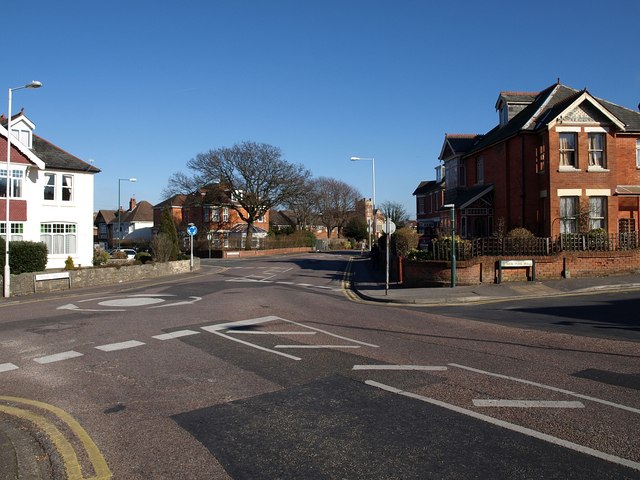
Image: © Derek Harper Taken: 10 Mar 2010
A somewhat complex junction of five roads, with Beresford Road arriving on the immediate right to meet Southbourne Road, which continues past a second mini-roundabout with Beaufort Road. Across on the right is New Park Road.
Images are licensed for reuse under creativecommons.org/licenses/by-sa/2.0
Image Location
Latitude
50.727566
Longitude
-1.816473