Old Worden Hall
Introduction
The photograph on this page of Old Worden Hall by Martin Stockdale as part of the Geograph project.
The Geograph project started in 2005 with the aim of publishing, organising and preserving representative images for every square kilometre of Great Britain, Ireland and the Isle of Man.

There are currently over 7.5m images from over 14,400 individuals and you can help contribute to the project by visiting https://www.geograph.org.uk
Old Worden Hall
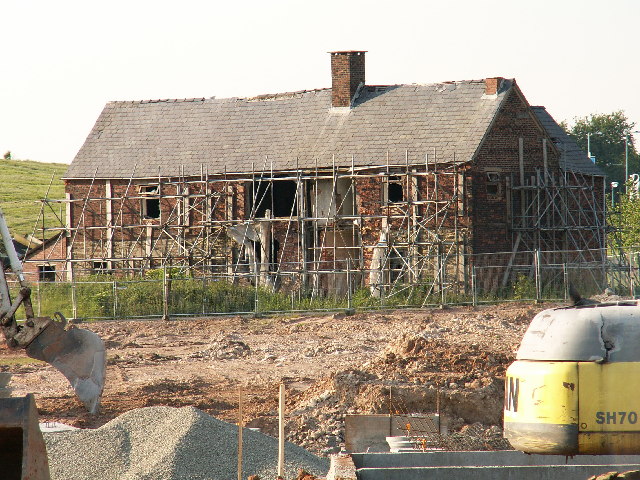
Image: © Martin Stockdale Taken: 7 Jun 2005
Old Worden Hall is another historic building which has been hidden for many years within the grounds of the Royal Ordnance site. Now that the site has largely closed and the land is being redeveloped for housing, it is possible to once again see this Hall. Whether it will be renovated or demolished remains to be seen - it certainly can't stay as it is once the houses are built!
Images are licensed for reuse under creativecommons.org/licenses/by-sa/2.0
Image Location


Leaflet Map data © OpenStreetMap
Latitude
53.679141
Longitude
-2.660027