Dollis Valley Greenwalk
Introduction
The photograph on this page of Dollis Valley Greenwalk by David Kemp as part of the Geograph project.
The Geograph project started in 2005 with the aim of publishing, organising and preserving representative images for every square kilometre of Great Britain, Ireland and the Isle of Man.

There are currently over 7.5m images from over 14,400 individuals and you can help contribute to the project by visiting https://www.geograph.org.uk
Dollis Valley Greenwalk
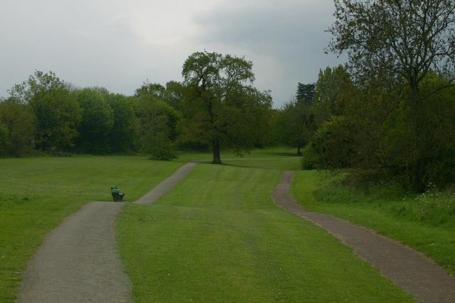
Image: © David Kemp Taken: 12 May 2010
Taken just north of Totteridge & Whetstone station. The Greenwalk follows the course of the Dollis Brook between Hampstead Garden Suburb and Moat Mount Open Space north of Mill Hill, passing through some surprisingly rural areas en route.
Images are licensed for reuse under creativecommons.org/licenses/by-sa/2.0
Image Location
Latitude
51.632673
Longitude
-0.17985