Halgavor Bridge, Lanhydrock, near Bodmin
Introduction
The photograph on this page of Halgavor Bridge, Lanhydrock, near Bodmin by Ruth Sharville as part of the Geograph project.
The Geograph project started in 2005 with the aim of publishing, organising and preserving representative images for every square kilometre of Great Britain, Ireland and the Isle of Man.

There are currently over 7.5m images from over 14,400 individuals and you can help contribute to the project by visiting https://www.geograph.org.uk
Halgavor Bridge, Lanhydrock, near Bodmin
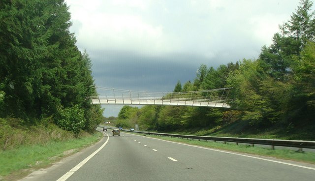
Image: © Ruth Sharville Taken: 13 May 2010
This bridge was built for the Millennium, and is part of the national cycle network. I took the photo through the windscreen from the passenger seat - hence the slightly weird rays on the shot. What is most striking to me, however, is the illusion that the bridge itself is tipped at a steep angle towards us as we approach it. See http://www.waymarking.com/waymarks/WM3AVV_Halgavor_Bridge_Near_Bodmin_Cornwall_UK
Images are licensed for reuse under creativecommons.org/licenses/by-sa/2.0
Image Location


Leaflet Map data © OpenStreetMap
Latitude
50.450308
Longitude
-4.69713