2010 : Former canal wharf, Calne
Introduction
The photograph on this page of 2010 : Former canal wharf, Calne by Maurice Pullin as part of the Geograph project.
The Geograph project started in 2005 with the aim of publishing, organising and preserving representative images for every square kilometre of Great Britain, Ireland and the Isle of Man.

There are currently over 7.5m images from over 14,400 individuals and you can help contribute to the project by visiting https://www.geograph.org.uk
2010 : Former canal wharf, Calne
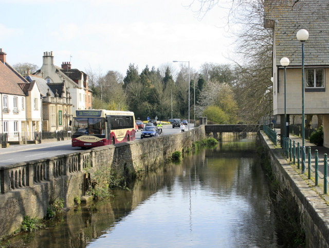
Image: © Maurice Pullin Taken: 16 Apr 2010
At the end of the Calne branch of the now closed Wilts and Berks Canal. The A4 London Road passes on the opposite bank with 33 bus to Chippenham.
Images are licensed for reuse under creativecommons.org/licenses/by-sa/2.0
Image Location
Latitude
51.437187
Longitude
-2.005274