Tournament Fields business park, Warwick
Introduction
The photograph on this page of Tournament Fields business park, Warwick by David P Howard as part of the Geograph project.
The Geograph project started in 2005 with the aim of publishing, organising and preserving representative images for every square kilometre of Great Britain, Ireland and the Isle of Man.

There are currently over 7.5m images from over 14,400 individuals and you can help contribute to the project by visiting https://www.geograph.org.uk
Tournament Fields business park, Warwick
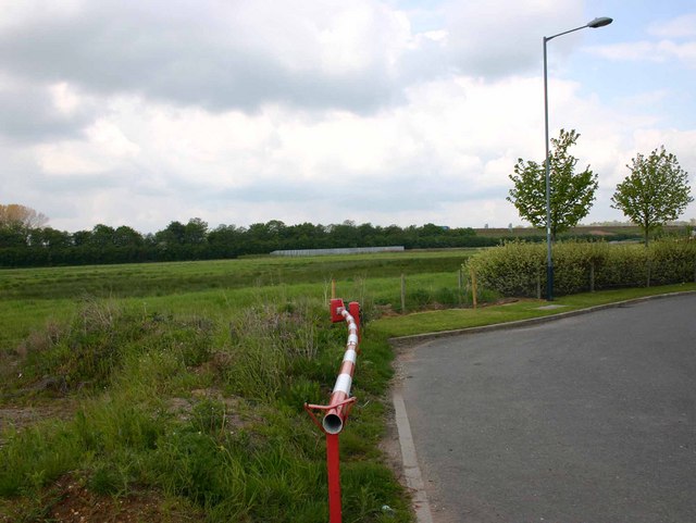
Image: © David P Howard Taken: 12 May 2010
Looking west from the roundabout on the access road. The business park has hardly been started due to the economic situation. The barrier in the foreground is blocking off what will eventually be an access road to the part of the park on the left. The hedgeline in the distance is the edge of the A46 north of Longbridge island, the M40 Jnc 15/A46/A429 interchange.
Images are licensed for reuse under creativecommons.org/licenses/by-sa/2.0
Image Location
Latitude
52.263615
Longitude
-1.608737