Commonhead Farm
Introduction
The photograph on this page of Commonhead Farm by Robert Murray as part of the Geograph project.
The Geograph project started in 2005 with the aim of publishing, organising and preserving representative images for every square kilometre of Great Britain, Ireland and the Isle of Man.

There are currently over 7.5m images from over 14,400 individuals and you can help contribute to the project by visiting https://www.geograph.org.uk
Commonhead Farm
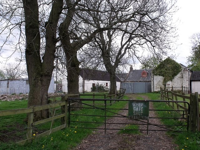
Image: © Robert Murray Taken: 13 May 2010
On the edge of the urban sprawl it is now derelict and up for sale. For 150 years owned and farmed by successive generations of the Mason family.
Images are licensed for reuse under creativecommons.org/licenses/by-sa/2.0
Image Location


Leaflet Map data © OpenStreetMap
Latitude
55.864966
Longitude
-4.091477