Monkland Canal at Netherhouse
Introduction
The photograph on this page of Monkland Canal at Netherhouse by Robert Murray as part of the Geograph project.
The Geograph project started in 2005 with the aim of publishing, organising and preserving representative images for every square kilometre of Great Britain, Ireland and the Isle of Man.

There are currently over 7.5m images from over 14,400 individuals and you can help contribute to the project by visiting https://www.geograph.org.uk
Monkland Canal at Netherhouse
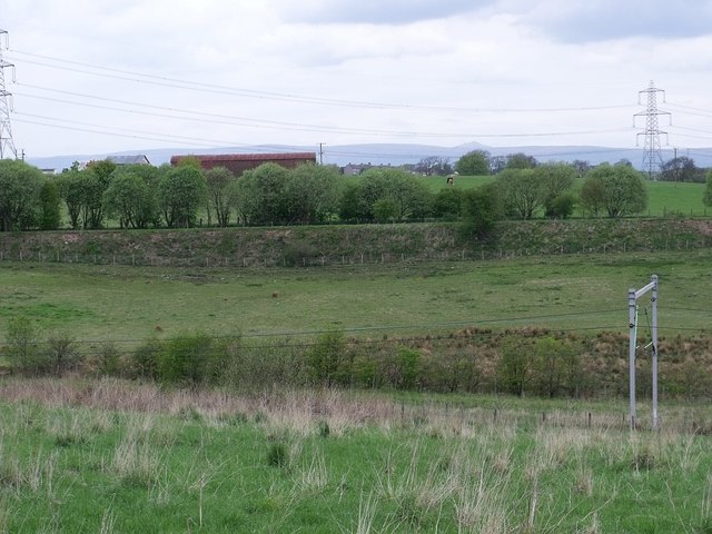
Image: © Robert Murray Taken: 13 May 2010
The embankment is the line of the Monkland Canal as surveyed and built by James Watt. This stretch was completed by 1772 and follows the contour which meant only one retaining wall was required and the spoil from the canal bed was used to build the embankment. Clever chap that man Watt.
Images are licensed for reuse under creativecommons.org/licenses/by-sa/2.0
Image Location
Latitude
55.859589
Longitude
-4.090549