Strathblane Road
Introduction
The photograph on this page of Strathblane Road by Lairich Rig as part of the Geograph project.
The Geograph project started in 2005 with the aim of publishing, organising and preserving representative images for every square kilometre of Great Britain, Ireland and the Isle of Man.

There are currently over 7.5m images from over 14,400 individuals and you can help contribute to the project by visiting https://www.geograph.org.uk
Strathblane Road
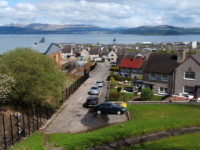
Image: © Lairich Rig Taken: 7 May 2010
This is a view along Strathblane Road, as seen from Kilmacolm Road, with the River Clyde in the background. On the far shore, Helenburgh is visible on the left, and the peninsula of Ardmore Point on the right.
Images are licensed for reuse under creativecommons.org/licenses/by-sa/2.0
Image Location
Latitude
55.934635
Longitude
-4.736822