Walled Garden - Michael's Hope
Introduction
The photograph on this page of Walled Garden - Michael's Hope by Richard Thomas as part of the Geograph project.
The Geograph project started in 2005 with the aim of publishing, organising and preserving representative images for every square kilometre of Great Britain, Ireland and the Isle of Man.

There are currently over 7.5m images from over 14,400 individuals and you can help contribute to the project by visiting https://www.geograph.org.uk
Walled Garden - Michael's Hope
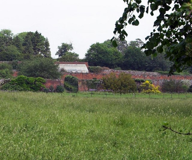
Image: © Richard Thomas Taken: 13 Jun 2006
Marked on present day OS maps as 'Michaels Hope' it appears to be a walled garden forming part of the nearby Bury located in TL1821
Images are licensed for reuse under creativecommons.org/licenses/by-sa/2.0
Image Location


Leaflet Map data © OpenStreetMap
Latitude
51.881153
Longitude
-0.2711