Ruined house by the Siston Brook
Introduction
The photograph on this page of Ruined house by the Siston Brook by Derek Harper as part of the Geograph project.
The Geograph project started in 2005 with the aim of publishing, organising and preserving representative images for every square kilometre of Great Britain, Ireland and the Isle of Man.

There are currently over 7.5m images from over 14,400 individuals and you can help contribute to the project by visiting https://www.geograph.org.uk
Ruined house by the Siston Brook
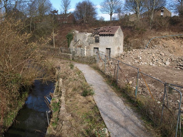
Image: © Derek Harper Taken: 9 Mar 2010
Number 46, School Road, looks to be in the middle of demolition. Taken looking up the brook, in its steep-sided valley, from a footbridge between School Road and California Road.
Images are licensed for reuse under creativecommons.org/licenses/by-sa/2.0
Image Location
Latitude
51.438553
Longitude
-2.477163