Moor of Findochty
Introduction
The photograph on this page of Moor of Findochty by Anne Burgess as part of the Geograph project.
The Geograph project started in 2005 with the aim of publishing, organising and preserving representative images for every square kilometre of Great Britain, Ireland and the Isle of Man.

There are currently over 7.5m images from over 14,400 individuals and you can help contribute to the project by visiting https://www.geograph.org.uk
Moor of Findochty
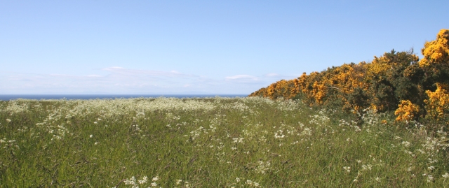
Image: © Anne Burgess Taken: 13 Jun 2006
Although on the map as a moor, this square is mainly arable, though this field looks as if it has been allowed to run to seed. In the far distance are the hills of Caithness and Sutherland.
Images are licensed for reuse under creativecommons.org/licenses/by-sa/2.0
Image Location
Latitude
57.694128
Longitude
-2.899118