Fork in the road
Introduction
The photograph on this page of Fork in the road by Gordon Hatton as part of the Geograph project.
The Geograph project started in 2005 with the aim of publishing, organising and preserving representative images for every square kilometre of Great Britain, Ireland and the Isle of Man.

There are currently over 7.5m images from over 14,400 individuals and you can help contribute to the project by visiting https://www.geograph.org.uk
Fork in the road
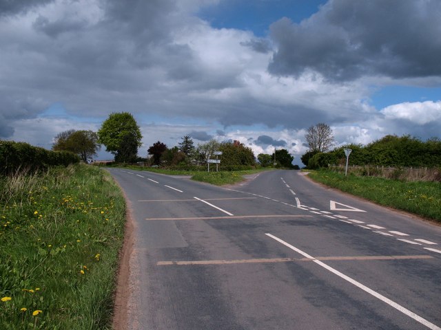
Image: © Gordon Hatton Taken: 12 May 2010
Road junction at Flawith, with the road to Helperby to the left and that to Tholthorpe to the right.
Images are licensed for reuse under creativecommons.org/licenses/by-sa/2.0
Image Location
Latitude
54.084717
Longitude
-1.268053