Ruff Lane
Introduction
The photograph on this page of Ruff Lane by Gordon Hatton as part of the Geograph project.
The Geograph project started in 2005 with the aim of publishing, organising and preserving representative images for every square kilometre of Great Britain, Ireland and the Isle of Man.

There are currently over 7.5m images from over 14,400 individuals and you can help contribute to the project by visiting https://www.geograph.org.uk
Ruff Lane
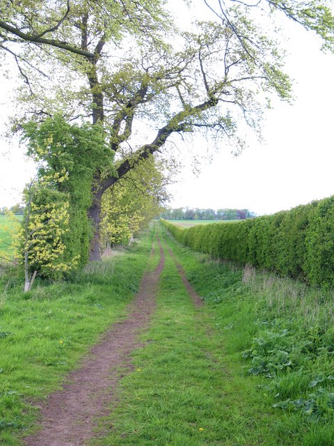
Image: © Gordon Hatton Taken: 12 May 2010
Ruff Lane runs north across Myton Moor and is currently a permissive path.
Images are licensed for reuse under creativecommons.org/licenses/by-sa/2.0
Image Location


Leaflet Map data © OpenStreetMap
Latitude
54.094103
Longitude
-1.305043