Old race course
Introduction
The photograph on this page of Old race course by Marion Phillips as part of the Geograph project.
The Geograph project started in 2005 with the aim of publishing, organising and preserving representative images for every square kilometre of Great Britain, Ireland and the Isle of Man.

There are currently over 7.5m images from over 14,400 individuals and you can help contribute to the project by visiting https://www.geograph.org.uk
Old race course
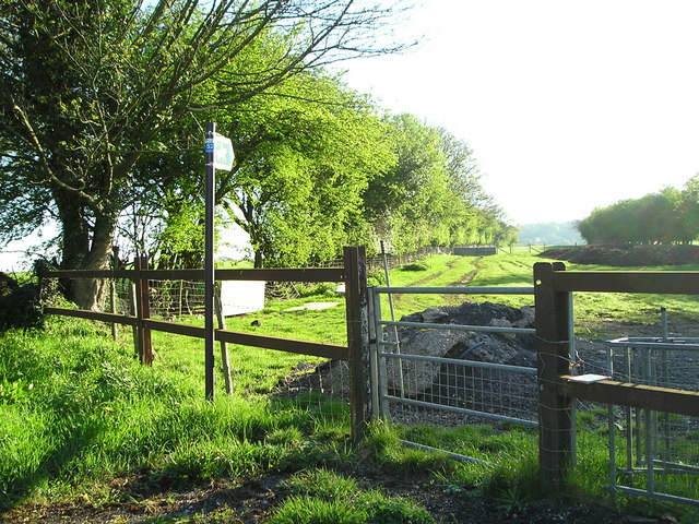
Image: © Marion Phillips Taken: 9 May 2010
On my old copy of the Ordnance Survey map, the land to the right of this bridle way is marked as "Race Course (dis)". This gate has a lever that enables a rider to open and close it without dismounting.
Images are licensed for reuse under creativecommons.org/licenses/by-sa/2.0
Image Location
Latitude
53.270687
Longitude
-3.271659