Pond
Introduction
The photograph on this page of Pond by Sharon Loxton as part of the Geograph project.
The Geograph project started in 2005 with the aim of publishing, organising and preserving representative images for every square kilometre of Great Britain, Ireland and the Isle of Man.

There are currently over 7.5m images from over 14,400 individuals and you can help contribute to the project by visiting https://www.geograph.org.uk
Pond
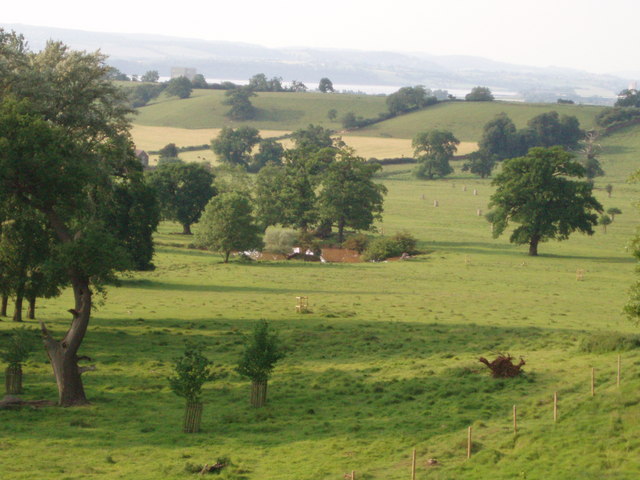
Image: © Sharon Loxton Taken: 8 Jun 2006
The pond lies in the lower ground of Whitcliff deer park, has a square shape and is probably a man-made watering hole for the deer which roam in the park. The river Severn can be seen in the background.
Images are licensed for reuse under creativecommons.org/licenses/by-sa/2.0
Image Location
Latitude
51.668057
Longitude
-2.488681