Minearny Base Station, Lough Foyle Base Line
Introduction
The photograph on this page of Minearny Base Station, Lough Foyle Base Line by Rossographer as part of the Geograph project.
The Geograph project started in 2005 with the aim of publishing, organising and preserving representative images for every square kilometre of Great Britain, Ireland and the Isle of Man.

There are currently over 7.5m images from over 14,400 individuals and you can help contribute to the project by visiting https://www.geograph.org.uk
Minearny Base Station, Lough Foyle Base Line
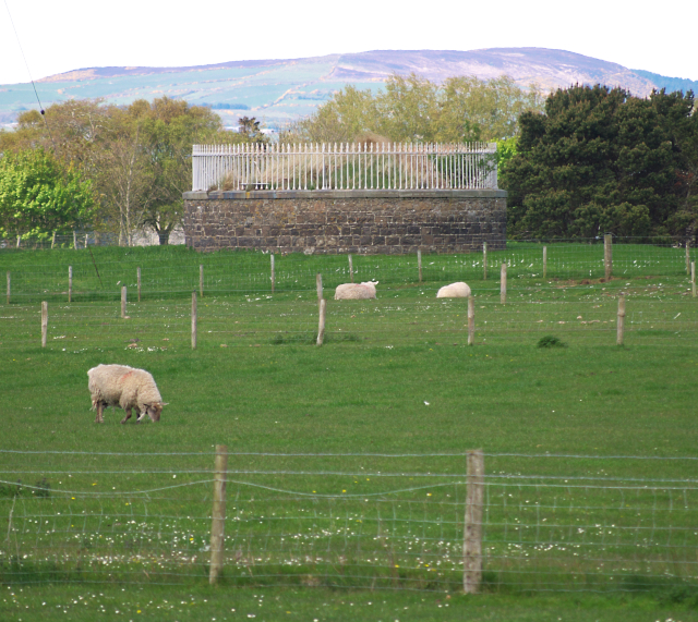
Image: © Rossographer Taken: 12 May 2010
The Minearny Base Station on the Lough Foyle Base Line, located between Ballykelly and Magilligan. The station, dating from 1827-8, contains a Bench Mark that was originally levelled to 34.661 feet above sea level. The notes from the first geodetic levelling of Ireland 1839-43 record that the mark was on the "Surface of sandstone block, in which the platina wire is inserted at Minearny". Today the mark has a recorded height of 8.19 metres above MSL.
Images are licensed for reuse under creativecommons.org/licenses/by-sa/2.0
Image Location
Latitude
55.118231
Longitude
-6.967213