End of the road
Introduction
The photograph on this page of End of the road by andrew auger as part of the Geograph project.
The Geograph project started in 2005 with the aim of publishing, organising and preserving representative images for every square kilometre of Great Britain, Ireland and the Isle of Man.

There are currently over 7.5m images from over 14,400 individuals and you can help contribute to the project by visiting https://www.geograph.org.uk
End of the road
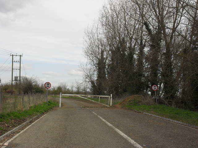
Image: © andrew auger Taken: 11 Apr 2010
This was the main A420 through Kingston Bagpuize and Southmoor prior to the building of the bypass just to the north. Now it just serves a few houses and the bowls club before becoming closed to motor vehicles at the barrier.
Images are licensed for reuse under creativecommons.org/licenses/by-sa/2.0
Image Location
Latitude
51.681784
Longitude
-1.406646