Footbridge over the Mansfield line
Introduction
The photograph on this page of Footbridge over the Mansfield line by John Sutton as part of the Geograph project.
The Geograph project started in 2005 with the aim of publishing, organising and preserving representative images for every square kilometre of Great Britain, Ireland and the Isle of Man.

There are currently over 7.5m images from over 14,400 individuals and you can help contribute to the project by visiting https://www.geograph.org.uk
Footbridge over the Mansfield line
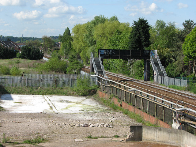
Image: © John Sutton Taken: 11 May 2010
This bridge, seen from Wilkinson Street, connects Gauntley Street and Wistow Close. Bobbers Mill is in the distance and a cleared part of the Gerard's Soap Works site (latterly Cussons) in the foreground. The grey security fence at the bottom of the right-hand flight of steps marks the site of the former foot crossing; it was from there that I took my 1967 picture of Gerard's http://www.geograph.org.uk/photo/1537380.
Images are licensed for reuse under creativecommons.org/licenses/by-sa/2.0
Image Location
Latitude
52.971088
Longitude
-1.180232