Thorganby Hall
Introduction
The photograph on this page of Thorganby Hall by Gordon Hatton as part of the Geograph project.
The Geograph project started in 2005 with the aim of publishing, organising and preserving representative images for every square kilometre of Great Britain, Ireland and the Isle of Man.

There are currently over 7.5m images from over 14,400 individuals and you can help contribute to the project by visiting https://www.geograph.org.uk
Thorganby Hall
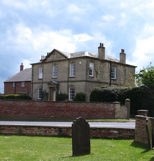
Image: © Gordon Hatton Taken: 11 May 2010
Just across the road from the village church [and just within the grid square]. The hall dates from 1822 and was built for John Dunnington Jefferson.
Images are licensed for reuse under creativecommons.org/licenses/by-sa/2.0
Image Location


Leaflet Map data © OpenStreetMap
Latitude
53.866038
Longitude
-0.952376