Footpath to Bourton-on-the-Water
Introduction
The photograph on this page of Footpath to Bourton-on-the-Water by Michael Dibb as part of the Geograph project.
The Geograph project started in 2005 with the aim of publishing, organising and preserving representative images for every square kilometre of Great Britain, Ireland and the Isle of Man.

There are currently over 7.5m images from over 14,400 individuals and you can help contribute to the project by visiting https://www.geograph.org.uk
Footpath to Bourton-on-the-Water
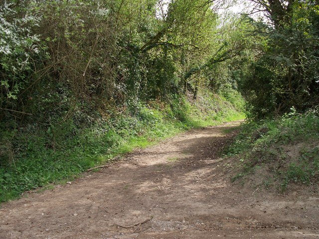
Image: © Michael Dibb Taken: 26 Apr 2010
This footpath branches off the minor road and heads towards Bourton-on-the-Water via the south bank of the River Windrush. The Windrush Way long distance path also goes to Bourton-on-the-Water but it runs on the north bank.
Images are licensed for reuse under creativecommons.org/licenses/by-sa/2.0
Image Location
Latitude
51.889341
Longitude
-1.786067