Entering Thorverton
Introduction
The photograph on this page of Entering Thorverton by Derek Harper as part of the Geograph project.
The Geograph project started in 2005 with the aim of publishing, organising and preserving representative images for every square kilometre of Great Britain, Ireland and the Isle of Man.

There are currently over 7.5m images from over 14,400 individuals and you can help contribute to the project by visiting https://www.geograph.org.uk
Entering Thorverton
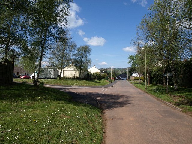
Image: © Derek Harper Taken: 4 May 2010
The road from Berrysbridge passes a couple of modern closes - Broadlands to the left and The Glebe to the right - before dropping into the older part of the village. It is at the nearer junction that the bus turns round.
Images are licensed for reuse under creativecommons.org/licenses/by-sa/2.0
Image Location
Latitude
50.806709
Longitude
-3.529302