The Oak Field, Pett
Introduction
The photograph on this page of The Oak Field, Pett by N Chadwick as part of the Geograph project.
The Geograph project started in 2005 with the aim of publishing, organising and preserving representative images for every square kilometre of Great Britain, Ireland and the Isle of Man.

There are currently over 7.5m images from over 14,400 individuals and you can help contribute to the project by visiting https://www.geograph.org.uk
The Oak Field, Pett
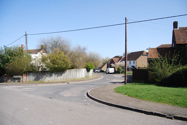
Image: © N Chadwick Taken: 17 Apr 2010
An estate road at the eastern end of the village.
Images are licensed for reuse under creativecommons.org/licenses/by-sa/2.0
Image Location
Latitude
50.895146
Longitude
0.668111