River Exe
Introduction
The photograph on this page of River Exe by Derek Harper as part of the Geograph project.
The Geograph project started in 2005 with the aim of publishing, organising and preserving representative images for every square kilometre of Great Britain, Ireland and the Isle of Man.

There are currently over 7.5m images from over 14,400 individuals and you can help contribute to the project by visiting https://www.geograph.org.uk
River Exe
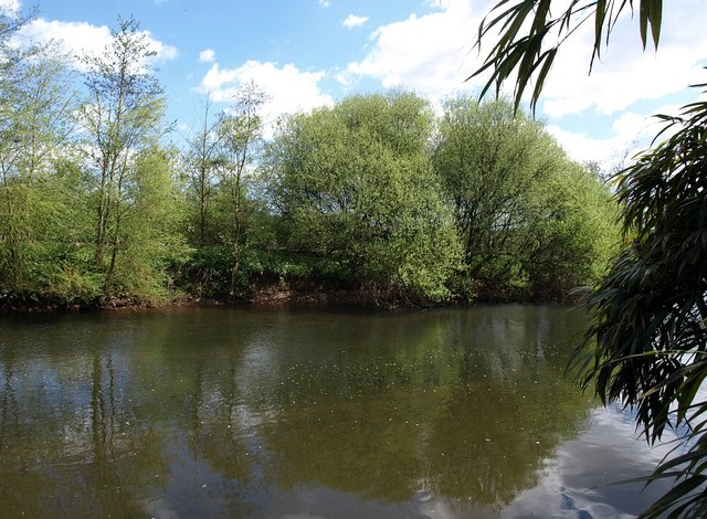
Image: © Derek Harper Taken: 4 May 2010
The river, just upstream from Brampford Speke, and flowing to the right. This is from the termination of Brampford Speke Footpath 15, which runs for about 80 metres from the lane and ends here on the bank. Was there once a ford? Looks like there might be leeches - the languidly tropical air is enhanced by the bamboo on the right, although those are very cool temperate willows on the far bank, just bursting into leaf. If you need to cross, there is a footbridge from the village.
Images are licensed for reuse under creativecommons.org/licenses/by-sa/2.0
Image Location
Latitude
50.777563
Longitude
-3.523103