Benedict Primary School, Mitcham
Introduction
The photograph on this page of Benedict Primary School, Mitcham by Stephen Craven as part of the Geograph project.
The Geograph project started in 2005 with the aim of publishing, organising and preserving representative images for every square kilometre of Great Britain, Ireland and the Isle of Man.

There are currently over 7.5m images from over 14,400 individuals and you can help contribute to the project by visiting https://www.geograph.org.uk
Benedict Primary School, Mitcham
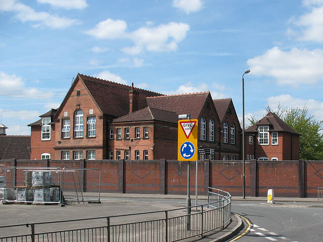
Image: © Stephen Craven Taken: 10 May 2010
The school, on Benedict Road, opened in 1897 and the original name - Lower Mitcham Board School - can still be seen in the brickwork.
Images are licensed for reuse under creativecommons.org/licenses/by-sa/2.0
Image Location
Latitude
51.402585
Longitude
-0.175916