St Mary's Well, Victoria Hill, Holsworthy
Introduction
The photograph on this page of St Mary's Well, Victoria Hill, Holsworthy by Humphrey Bolton as part of the Geograph project.
The Geograph project started in 2005 with the aim of publishing, organising and preserving representative images for every square kilometre of Great Britain, Ireland and the Isle of Man.

There are currently over 7.5m images from over 14,400 individuals and you can help contribute to the project by visiting https://www.geograph.org.uk
St Mary's Well, Victoria Hill, Holsworthy
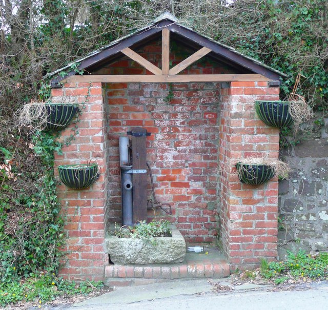
Image: © Humphrey Bolton Taken: 6 Apr 2010
Simply captioned 'Pump' on the OS 1:2500 map of 1905.
Images are licensed for reuse under creativecommons.org/licenses/by-sa/2.0
Image Location
Latitude
50.811759
Longitude
-4.354769