Millennium green, Thorverton
Introduction
The photograph on this page of Millennium green, Thorverton by Derek Harper as part of the Geograph project.
The Geograph project started in 2005 with the aim of publishing, organising and preserving representative images for every square kilometre of Great Britain, Ireland and the Isle of Man.

There are currently over 7.5m images from over 14,400 individuals and you can help contribute to the project by visiting https://www.geograph.org.uk
Millennium green, Thorverton
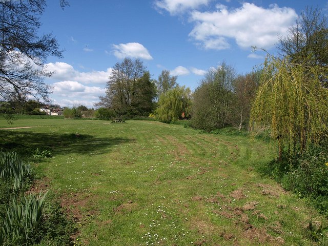
Image: © Derek Harper Taken: 4 May 2010
A picnic table in this meadow, which extends to five acres, by the stream south of the village.
Images are licensed for reuse under creativecommons.org/licenses/by-sa/2.0
Image Location
Latitude
50.806686
Longitude
-3.524192