Grinton
Introduction
The photograph on this page of Grinton by Bill Boaden as part of the Geograph project.
The Geograph project started in 2005 with the aim of publishing, organising and preserving representative images for every square kilometre of Great Britain, Ireland and the Isle of Man.

There are currently over 7.5m images from over 14,400 individuals and you can help contribute to the project by visiting https://www.geograph.org.uk
Grinton
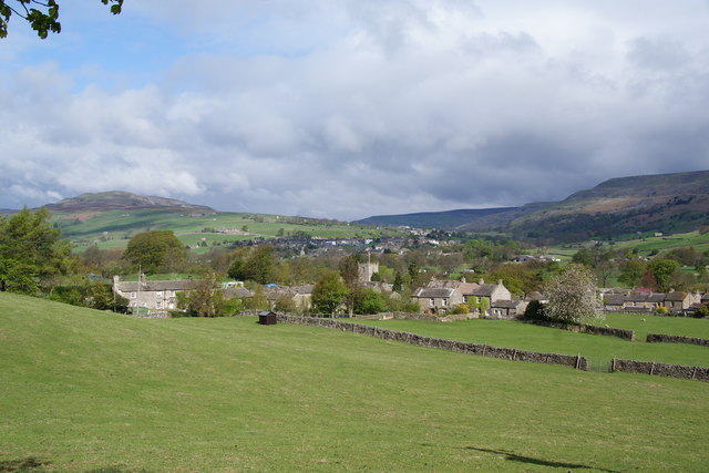
Image: © Bill Boaden Taken: 9 May 2010
The village seen from a useful footpath coming down the hill which avoids the need to walk along the road. Reeth and Calver Hill are beyond.
Images are licensed for reuse under creativecommons.org/licenses/by-sa/2.0
Image Location
Latitude
54.380176
Longitude
-1.929146