Field by Starved Oak Cross
Introduction
The photograph on this page of Field by Starved Oak Cross by Derek Harper as part of the Geograph project.
The Geograph project started in 2005 with the aim of publishing, organising and preserving representative images for every square kilometre of Great Britain, Ireland and the Isle of Man.

There are currently over 7.5m images from over 14,400 individuals and you can help contribute to the project by visiting https://www.geograph.org.uk
Field by Starved Oak Cross
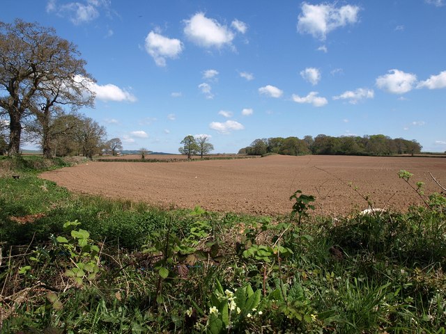
Image: © Derek Harper Taken: 4 May 2010
A tilled field on the northeast side of Image On the left is the lane shown in Image In the distance is Long Plantation, in Image Just before the field boundary reaches it, it can be seen going over a hillock, which is a tumulus.
Images are licensed for reuse under creativecommons.org/licenses/by-sa/2.0
Image Location
Latitude
50.779191
Longitude
-3.542872