Approaching West Town
Introduction
The photograph on this page of Approaching West Town by Derek Harper as part of the Geograph project.
The Geograph project started in 2005 with the aim of publishing, organising and preserving representative images for every square kilometre of Great Britain, Ireland and the Isle of Man.

There are currently over 7.5m images from over 14,400 individuals and you can help contribute to the project by visiting https://www.geograph.org.uk
Approaching West Town
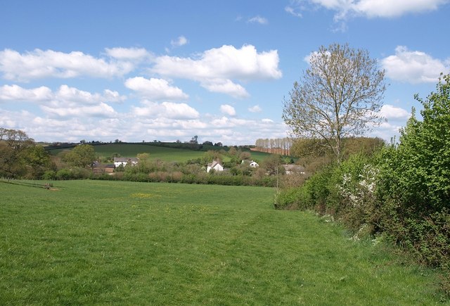
Image: © Derek Harper Taken: 4 May 2010
Sort of following Newton St Cyres Footpath 8, although it transpires that the line of the path is over on the left side of the field. This is the western portion of the large field shown in Image The cottages are strung out along the Shuttern Brook valley on West Town Road.
Images are licensed for reuse under creativecommons.org/licenses/by-sa/2.0
Image Location
Latitude
50.766166
Longitude
-3.595196