Green, Newton St Cyres
Introduction
The photograph on this page of Green, Newton St Cyres by Derek Harper as part of the Geograph project.
The Geograph project started in 2005 with the aim of publishing, organising and preserving representative images for every square kilometre of Great Britain, Ireland and the Isle of Man.

There are currently over 7.5m images from over 14,400 individuals and you can help contribute to the project by visiting https://www.geograph.org.uk
Green, Newton St Cyres
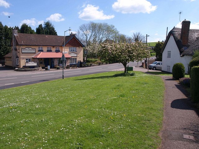
Image: © Derek Harper Taken: 4 May 2010
On the left, across the A377, is Image On the right, by the junction with Pump Street, is the (probably) C18 thatched cottage no 33 http://www.imagesofengland.org.uk/Details/Default.aspx?id=96390&mode=adv . Trees are in blossom.
Images are licensed for reuse under creativecommons.org/licenses/by-sa/2.0
Image Location
Latitude
50.770482
Longitude
-3.588677