Drainage channel, Townfoot of Dundaff
Introduction
The photograph on this page of Drainage channel, Townfoot of Dundaff by Robert Murray as part of the Geograph project.
The Geograph project started in 2005 with the aim of publishing, organising and preserving representative images for every square kilometre of Great Britain, Ireland and the Isle of Man.

There are currently over 7.5m images from over 14,400 individuals and you can help contribute to the project by visiting https://www.geograph.org.uk
Drainage channel, Townfoot of Dundaff
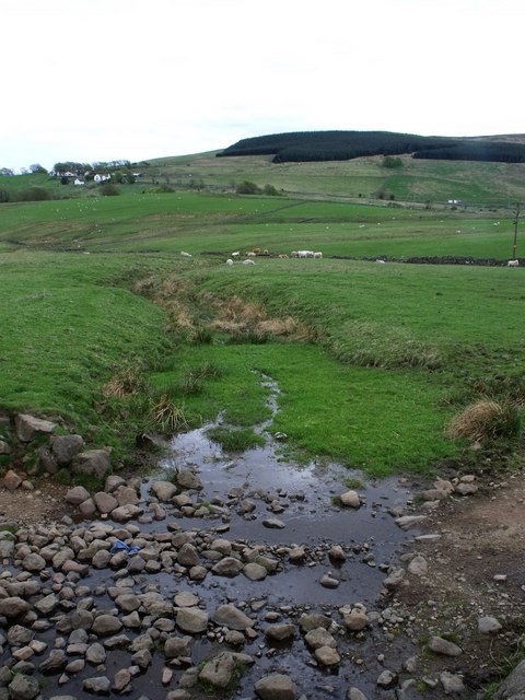
Image: © Robert Murray Taken: 9 May 2010
There are lateral narrow channels running across the slopes in this area, something to do with water supply.
Images are licensed for reuse under creativecommons.org/licenses/by-sa/2.0
Image Location


Leaflet Map data © OpenStreetMap
Latitude
56.03884
Longitude
-4.006322