Power lines at Rogerhead
Introduction
The photograph on this page of Power lines at Rogerhead by Robert Murray as part of the Geograph project.
The Geograph project started in 2005 with the aim of publishing, organising and preserving representative images for every square kilometre of Great Britain, Ireland and the Isle of Man.

There are currently over 7.5m images from over 14,400 individuals and you can help contribute to the project by visiting https://www.geograph.org.uk
Power lines at Rogerhead
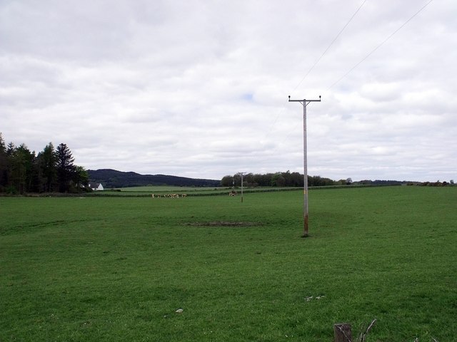
Image: © Robert Murray Taken: 9 May 2010
Rodgerhead can be seen to the left at the north end of Fiveyates Wood.
Images are licensed for reuse under creativecommons.org/licenses/by-sa/2.0
Image Location
Latitude
56.077632
Longitude
-3.940847