Site of Bonnybridge High (NBR) Station
Introduction
The photograph on this page of Site of Bonnybridge High (NBR) Station by Ben Brooksbank as part of the Geograph project.
The Geograph project started in 2005 with the aim of publishing, organising and preserving representative images for every square kilometre of Great Britain, Ireland and the Isle of Man.

There are currently over 7.5m images from over 14,400 individuals and you can help contribute to the project by visiting https://www.geograph.org.uk
Site of Bonnybridge High (NBR) Station
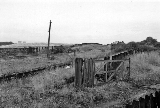
Image: © Ben Brooksbank Taken: 25 Sep 1974
View ENE, towards Falkirk and Edinburgh; ex-NBR Edinburgh - Falkirk (High) - Glasgow main line. Station closed 6/3/67, but line still very busy.
Images are licensed for reuse under creativecommons.org/licenses/by-sa/2.0
Image Location
Latitude
55.992271
Longitude
-3.87628