Housing development - Lightmoor
Introduction
The photograph on this page of Housing development - Lightmoor by Richard Law as part of the Geograph project.
The Geograph project started in 2005 with the aim of publishing, organising and preserving representative images for every square kilometre of Great Britain, Ireland and the Isle of Man.

There are currently over 7.5m images from over 14,400 individuals and you can help contribute to the project by visiting https://www.geograph.org.uk
Housing development - Lightmoor
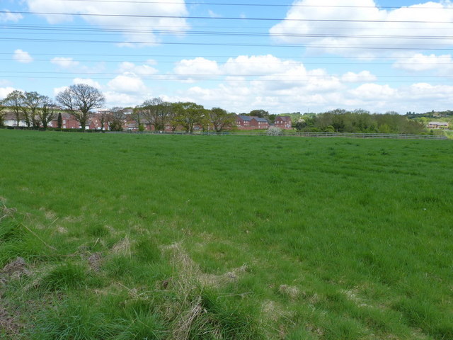
Image: © Richard Law Taken: 9 May 2010
New housing built as part of the Bournville Village Trust's development work on Lightmoor. Seen from one of the old rights of way through the area.
Images are licensed for reuse under creativecommons.org/licenses/by-sa/2.0
Image Location
Latitude
52.648421
Longitude
-2.479885