Housing development - Lightmoor
Introduction
The photograph on this page of Housing development - Lightmoor by Richard Law as part of the Geograph project.
The Geograph project started in 2005 with the aim of publishing, organising and preserving representative images for every square kilometre of Great Britain, Ireland and the Isle of Man.

There are currently over 7.5m images from over 14,400 individuals and you can help contribute to the project by visiting https://www.geograph.org.uk
Housing development - Lightmoor
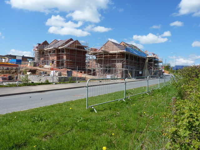
Image: © Richard Law Taken: 9 May 2010
Telford's development continues apace. In this case, it's the building of a 'community village', sponsored by the Bournville Village Trust, which aims to create a community in the Lightmoor area with a 'village feel' to it. A new school is being built at the same time as the housing, along with open spaces, wooded areas, and small pools.
Images are licensed for reuse under creativecommons.org/licenses/by-sa/2.0
Image Location
Latitude
52.652442
Longitude
-2.485842