Stoke Road, Water Eaton
Introduction
The photograph on this page of Stoke Road, Water Eaton by Cameraman as part of the Geograph project.
The Geograph project started in 2005 with the aim of publishing, organising and preserving representative images for every square kilometre of Great Britain, Ireland and the Isle of Man.

There are currently over 7.5m images from over 14,400 individuals and you can help contribute to the project by visiting https://www.geograph.org.uk
Stoke Road, Water Eaton
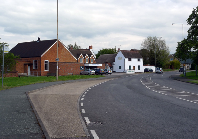
Image: © Cameraman Taken: 9 May 2010
The nearest building is Coronation Hall, the white building is the Veterinary Centre, although many years ago it was the George public house.
Images are licensed for reuse under creativecommons.org/licenses/by-sa/2.0
Image Location
Latitude
51.986601
Longitude
-0.719513