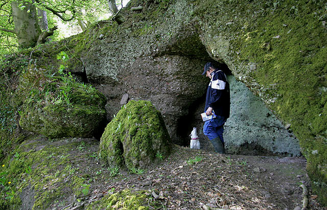
Tess and Darrin at the Covenanters' Cave
Introduction
The photograph on this page of Tess and Darrin at the Covenanters' Cave by Walter Baxter as part of the Geograph project.
The Geograph project started in 2005 with the aim of publishing, organising and preserving representative images for every square kilometre of Great Britain, Ireland and the Isle of Man.
There are currently over 7.5m images from over 14,400 individuals and you can help contribute to the project by visiting https://www.geograph.org.uk

Image: © Walter Baxter Taken: 8 May 2010
There is a small cave to the southeast of Cargenbridge that is marked on the Ordnance Survey Map as Covenanters’ Cave. It is located in a strip wood on steep ground overlooking the Cargen Water and is associated with the Covenanting times when Presbyterians were persecuted by government soldiers for their religious beliefs. The entrance to the cave is on the left Image By pure chance I met up here with fellow geographer Darrin Antrobus accompanied by his dog Tess. He was also taking photos of the cave with his iPhone pic Image

