Sandy Lane, Chavey Down
Introduction
The photograph on this page of Sandy Lane, Chavey Down by Colin Smith as part of the Geograph project.
The Geograph project started in 2005 with the aim of publishing, organising and preserving representative images for every square kilometre of Great Britain, Ireland and the Isle of Man.

There are currently over 7.5m images from over 14,400 individuals and you can help contribute to the project by visiting https://www.geograph.org.uk
Sandy Lane, Chavey Down
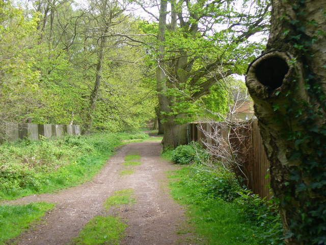
Image: © Colin Smith Taken: 9 May 2010
Loose-surfaced leafy byway from Chavey Down to North Ascot. Pump Rough is on the left and houses to the right.
Images are licensed for reuse under creativecommons.org/licenses/by-sa/2.0
Image Location
Latitude
51.420687
Longitude
-0.705187