Llanrhidian Higher Community: entrance to Windmill Wood Farm
Introduction
The photograph on this page of Llanrhidian Higher Community: entrance to Windmill Wood Farm by Martin Bodman as part of the Geograph project.
The Geograph project started in 2005 with the aim of publishing, organising and preserving representative images for every square kilometre of Great Britain, Ireland and the Isle of Man.

There are currently over 7.5m images from over 14,400 individuals and you can help contribute to the project by visiting https://www.geograph.org.uk
Llanrhidian Higher Community: entrance to Windmill Wood Farm
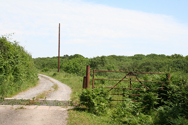
Image: © Martin Bodman Taken: 10 Jun 2006
Looking east. The track also serves as a public footpath along the valley to Three Crosses
Images are licensed for reuse under creativecommons.org/licenses/by-sa/2.0
Image Location


Leaflet Map data © OpenStreetMap
Latitude
51.614539
Longitude
-4.082793