Observatory View
Introduction
The photograph on this page of Observatory View by Simon Carey as part of the Geograph project.
The Geograph project started in 2005 with the aim of publishing, organising and preserving representative images for every square kilometre of Great Britain, Ireland and the Isle of Man.

There are currently over 7.5m images from over 14,400 individuals and you can help contribute to the project by visiting https://www.geograph.org.uk
Observatory View
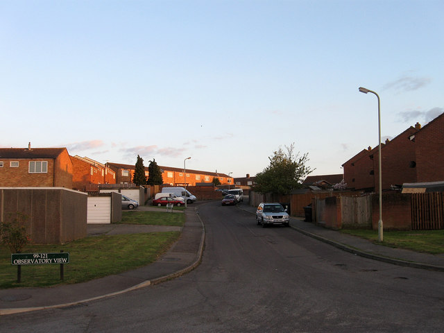
Image: © Simon Carey Taken: 3 May 2010
Part of a 1970s housing estate on the edge of Hailsham. The name derives from the ability to see the dome of Herstmonceux Observatory across the flat expanse of the Pevensey Levels from Hailsham.
Images are licensed for reuse under creativecommons.org/licenses/by-sa/2.0
Image Location
Latitude
50.860732
Longitude
0.271365