Hamlins Villa
Introduction
The photograph on this page of Hamlins Villa by Simon Carey as part of the Geograph project.
The Geograph project started in 2005 with the aim of publishing, organising and preserving representative images for every square kilometre of Great Britain, Ireland and the Isle of Man.

There are currently over 7.5m images from over 14,400 individuals and you can help contribute to the project by visiting https://www.geograph.org.uk
Hamlins Villa
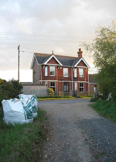
Image: © Simon Carey Taken: 3 May 2010
Victorian house on Mill Road next to the site of the old windmill from which it got its name. Viewed from the track to Little Marshfoot Farm which is also a public footpath.
Images are licensed for reuse under creativecommons.org/licenses/by-sa/2.0
Image Location
Latitude
50.857511
Longitude
0.270498