The path to the Hen Reedbeds
Introduction
The photograph on this page of The path to the Hen Reedbeds by Oliver Dixon as part of the Geograph project.
The Geograph project started in 2005 with the aim of publishing, organising and preserving representative images for every square kilometre of Great Britain, Ireland and the Isle of Man.

There are currently over 7.5m images from over 14,400 individuals and you can help contribute to the project by visiting https://www.geograph.org.uk
The path to the Hen Reedbeds
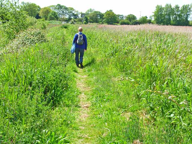
Image: © Oliver Dixon Taken: 6 Jun 2006
This path runs from the carpark on the north side of the A1095 south to the main part of the Hen Reedbeds, a wildlife reserve managed by the Suffolk Wildlife Trust. http://www.suffolkwildlife.co.uk/nr/sites/hen.htm There are also extensive reedbeds to the north of the road.
Images are licensed for reuse under creativecommons.org/licenses/by-sa/2.0
Image Location


Leaflet Map data © OpenStreetMap
Latitude
52.33628
Longitude
1.625708