Grove Park Bridge
Introduction
The photograph on this page of Grove Park Bridge by Martin Addison as part of the Geograph project.
The Geograph project started in 2005 with the aim of publishing, organising and preserving representative images for every square kilometre of Great Britain, Ireland and the Isle of Man.

There are currently over 7.5m images from over 14,400 individuals and you can help contribute to the project by visiting https://www.geograph.org.uk
Grove Park Bridge
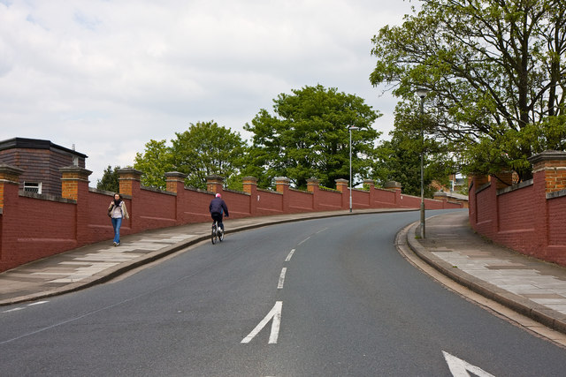
Image: © Martin Addison Taken: 7 May 2010
This bridge connects Grove Park Road to the south of the railway line between Chiswick and Kew Bridge with Sutton Court Road on the other side. The road layout suggests that the bridge was built as an after-thought and it possibly replaced a level-crossing.
Images are licensed for reuse under creativecommons.org/licenses/by-sa/2.0
Image Location
Latitude
51.482605
Longitude
-0.26994