Farm gate west of High Hotts
Introduction
The photograph on this page of Farm gate west of High Hotts by Andrew Curtis as part of the Geograph project.
The Geograph project started in 2005 with the aim of publishing, organising and preserving representative images for every square kilometre of Great Britain, Ireland and the Isle of Man.

There are currently over 7.5m images from over 14,400 individuals and you can help contribute to the project by visiting https://www.geograph.org.uk
Farm gate west of High Hotts
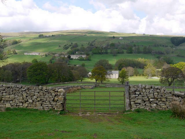
Image: © Andrew Curtis Taken: 7 May 2010
The view is towards High House Chapel in Weardale, east of Ireshopeburn, with New House on the hillside above to the left. A closer view is here Image
Images are licensed for reuse under creativecommons.org/licenses/by-sa/2.0
Image Location


Leaflet Map data © OpenStreetMap
Latitude
54.738782
Longitude
-2.201722