Pasture near The Hole
Introduction
The photograph on this page of Pasture near The Hole by Andrew Curtis as part of the Geograph project.
The Geograph project started in 2005 with the aim of publishing, organising and preserving representative images for every square kilometre of Great Britain, Ireland and the Isle of Man.

There are currently over 7.5m images from over 14,400 individuals and you can help contribute to the project by visiting https://www.geograph.org.uk
Pasture near The Hole
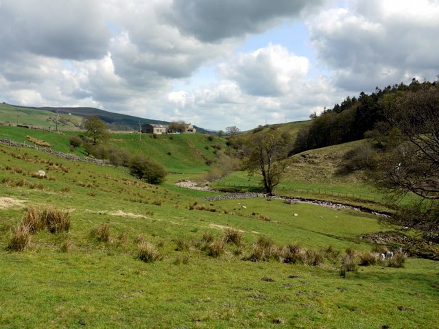
Image: © Andrew Curtis Taken: 7 May 2010
The house on the bank above the burn is known as Knotty Pine. Hole Plantation is on the opposite bank.
Images are licensed for reuse under creativecommons.org/licenses/by-sa/2.0
Image Location


Leaflet Map data © OpenStreetMap
Latitude
54.741448
Longitude
-2.219132